Lake TahoeTravel GuideShores, seasons & trip planner
Choose your shore. Plan your days. Know before you go.
One lake. Two states. Find your kind of Tahoe.
Plan a Lake Tahoe trip that fits you
Lake Tahoe sits in the Sierra Nevada on the California–Nevada border. Come for granite-framed coves, mountain trails and winter resorts. Start by choosing a base near the things you want to do: the best trip is usually a few well-planned days on one side of the lake, with room to change plans when conditions do.
California + NevadaOne lake, several distinct bases1,645 feetMaximum lake depth6,223 feetNatural rim elevation
Depth and natural rim elevation: U.S. Environmental Protection Agency. Elevation varies with lake level. Tahoe is the second-deepest lake in the United States.
Choose your base before booking activities. South Lake Tahoe and Stateline work well for a busy town stay; Tahoe City and the North Shore suit a village-and-lake trip; the West Shore clusters forest and state-park stops; the East Shore is a shoreline outing with fewer places to stay directly beside the coves.
Find your starting point
Compare the shores, then zoom in on your chosen stop. This overview does not show a measured itinerary.
Simple shore orientationOriginal I Love Lake Tahoe orientation diagram. Not to scale; the dashed line is a schematic shore corridor, not a navigable route or state boundary. Use current road reports and a navigation map for travel.
Consider the Heavenly Village area if you want meals and evening activities close together. Pair a South Shore stay with a separate Emerald Bay outing. Check the actual lodging address: a “South Lake Tahoe” listing can still require a drive to the village.
Tahoe City is a useful starting point for the West Shore; Kings Beach keeps you closer to the northeastern lakefront. Truckee is a separate inland town, not a lakeside neighborhood. Match your hotel to your planned beaches or ski resort.
Build a day around one or two nearby stops rather than treating every turnout as a quick photo break. Parking can determine your day. At Emerald Bay, the viewpoint and the walk down to Vikingsholm are different experiences; the return climb deserves time and energy.
Use Incline Village as a starting point for the East Shore Trail or a planned Sand Harbor visit. Do not treat a roadside shoulder as beach parking. Entry rules, reservations and capacity limits matter more than arriving with a long list of coves.
Choose by the trip you want, then check the exact address
Your priority
Start comparing
Tradeoff to check
Walk to meals and evening plans
Heavenly Village / Stateline
Parking charges, noise and the walk from the actual hotel
Village + lake + West Shore outings
Tahoe City
Travel to eastern coves and your chosen ski mountain
Beach day with a northeast base
Kings Beach / Incline Village
Public access: some nearby beaches have resident or guest restrictions
Ski as much as possible
Your chosen resort's base area
Lakefront lodging may add a daily mountain commute
Travel without a car
A walkable base on the routes you need
Last return service, shuttle stops and on-demand service zones
Our planning rule: group each day by shore. Before adding a second area, check the route, parking and return journey. A full lake loop can become a driving day rather than a day at the lake.
Turn a base into an actual day
Three outings to build a first trip around
These are separate day ideas, not a route to squeeze into one afternoon. Pick the one closest to your lodging and keep a second day flexible. Check access before using any plan.
South / southwest · scenery
Emerald Bay, at your own pace
Choose one version: a viewpoint stop, or the roughly two-mile round trip to Vikingsholm with a steep uphill return. Keep the rest of the day on the South Shore rather than adding Sand Harbor across the lake.
October planning note: the park lists Vikingsholm tours as finished for the 2026 season and the campgrounds as closed. A lake-view outing is different from an operating house tour.
If parking or the route does not work: return toward your South Shore base and choose an open beach from the city's beach listings or an indoor stop. Do not improvise highway parking.
Choose one main outing: a park visit with entry arranged, or an out-and-back walk from a legal trail access point. The paved East Shore Trail runs about three miles between Incline Village and Sand Harbor; walking the whole route and back doubles that distance.
Set a turnaround point: a shorter section may suit your group better than a full return walk. Check wind and conditions before adding paddling. A rental reservation does not replace a parking or entry plan.
Start in Tahoe City: Commons Beach has a playground, restrooms and a lakeside paved path, making it a useful short stop rather than a remote trail commitment. Confirm facilities and park notices with Placer County / TCPUD.
For a longer day with a car: consider Sugar Pine Point's historic grounds on the West Shore. Choose the lakeside day-use area, rather than the campground across Highway 89. Official documents describe the lakefront trail differently; use the distance and slope comparison below before choosing a walk. The park currently lists Pine Lodge as closed for winter; the grounds and a house tour are separate plans.
If you are using transit: compare our Mainline day example, including the return stop and the extra walk from the bus into the park.
Seasonal house tours or rentals; parking fees apply year-round
These are dated examples from park pages, not guaranteed prices or a quote. Special rates and operating changes can apply. Check the linked source for your date. An ordinary admission fee or pass does not reserve parking. A valid Sand Harbor morning reservation guarantees a space until 10:30 a.m. under the current policy; arriving later forfeits that guarantee.
A useful starting point
Find your first Tahoe day
Choose your season, priority and transportation. Get a suggested base, a simple day and a backup. These are editorial starting plans, not live availability or a booking service.
Summer · First visit · With a car
Start with a South Shore day
A practical first-visit base when you want lake time and a town with dining options. Compare the actual hotel location before booking.
Morning: choose an open South Shore beach from the city listings, checking notices before travel.
Afternoon: stay on the same shore for a relaxed meal and a second short stop.
Evening: walk around Heavenly Village or check the event calendar.
Backup: if wind or smoke changes the plan, skip the water and choose an indoor activity near your base.
Choose the journey on your side of the lake. These examples use published timetables checked October 25, 2026; all times are local Pacific Time in 24-hour format, not live departures. Save the return stop before leaving and check alerts on your travel day.
South Shore · TTD 50
South Y → Stateline
09:00South Y Transit Center Eastbound · stop 2085
09:26Stateline Transit Center Stop 2111 · village time
15:16US 50 / Lake Parkway Westbound · Golden Nugget · stop 4273
15:44South Y Transit Center Return · stop 2085
The return boards at a different stop. Use the operator’s map to find it and marked crossings to reach it. Keep the outing around Stateline; this bus does not take you to Emerald Bay.
Schedule and trip checks
Example from the TTD Route 50 PDF, effective September 3, 2026. The route webpage carries an older effective-date label; use the current dated schedule for your day. Check the route map and alerts. Event tickets, walking suitability and any extra rides are separate decisions.
North Shore · TART Mainline
Tahoe City → Kings Beach
09:30Tahoe City Transit Center Toward Crystal Bay
09:52Kings Beach at Safeway North Shore town stop
15:03Kings Beach / Chipmunk Street Toward Tahoe City
15:30Tahoe City Transit Center Return
Plan lunch and a nearby shoreline visit if conditions suit. Locate both stops first; the outbound and return names differ. Keep the walk short enough for everyone to return comfortably.
09:50Tahoma / Sugar Pine Point Plan the walk into the park
15:10Sugar Pine Point Toward Tahoe City
15:27Tahoe City Transit Center Return
Bus arrival is not lakeshore arrival. Check the stop-to-entrance route and the walk through the grounds before choosing this day. Bring a meal and verify facilities; house tours are seasonal.
How much time does each example leave? Our calculation from the timetables above
Day plan
Bus time out + back
Arrival to return departure
Subtract from that window
South Y → Stateline
26 + 28 = 54 minutes
09:26–15:16 5 hours 50 minutes
Walking between different outbound and return stops, activities, food and a boarding buffer
Tahoe City → Kings Beach
22 + 27 = 49 minutes
09:52–15:03 5 hours 11 minutes
The walk from Safeway to your outing, onward to Chipmunk Street, food and a boarding buffer
Tahoe City → Sugar Pine Point
20 + 17 = 37 minutes
09:50–15:10 5 hours 20 minutes
Both bus-stop approaches, the park walk, food and a boarding buffer
These are timetable differences, not measured walking times or time guaranteed at an attraction. For example, a hypothetical total of 60 minutes of approach walking plus a 15-minute boarding buffer would leave 4 hours 5 minutes from the West Shore window for the park and lunch. Replace those assumptions with your own route and pace. If you cannot confirm the approach, choose a town outing.
Build in a missed-bus buffer. These afternoon returns deliberately leave room to adjust. They are not the last service. Check the actual final bus for your date; do not rely on a taxi or on-demand vehicle being available at a remote stop.
Distance is only one part of difficulty
Choose a shorter walk with better information
Published route details, checked October 25, 2026
Outing
Distance and surface
What changes the choice
Rainbow Trail, Taylor Creek
About ½ mile; the Forest Service describes a paved, wheelchair-accessible walk.
Seasonal parking and services. No restrooms or trash service when closed; bring drinking water. Snow can change surface access. Trail details · Current facilities
Sugar Pine Point Lakefront Interpretive Trail
The park’s accessibility inventory lists 0.4 mile each way / 0.8 mile return; asphalt, average slope 3%, maximum 8%.
Starts at the westernmost parking lot; the bus-stop approach is additional. Accessible restrooms are listed there. Confirm conditions and whether the steeper sections suit your needs. Official access measurements. The May 2025 park sheet instead describes a quarter-mile trail. Confirm your intended segment with the park; these published lengths differ.
Vikingsholm from the Emerald Bay parking area
About 2 miles return, with a steep climb back.
For less exertion, choose the viewpoint instead of descending. The lakefront visit and seasonal house tour are different outings. Park access information
Operator descriptions are not a guarantee that a route meets every visitor’s needs. Check the surface, gradient, facilities and current closures against your group’s requirements.
Dates change the trip
When to visit Lake Tahoe
Choose the experience first, then check conditions for your dates. These seasonal patterns are planning guidance, not a forecast or a promise that an activity will be open.
April–May
Spring: a transition, not guaranteed summer
Lower shoreline walks may be a better starting point than a high-elevation hike. Snow can linger on trails while resort operations wind down. Keep a town-based backup and verify individual opening dates.
Plan your main beach or trail before setting out, then check parking and entry rules. Warm air does not make cold water safe. Wind, smoke and lingering early-season snow can change an outdoor plan.
Use the forecast and daylight to choose a short outing, with an indoor alternative nearby. Foliage timing varies; late fall is also a transition between summer operations and winter openings.
Compare the resort or snow-play venue before reserving lodging. Allow for weather-related travel changes and check official road controls. A ski trip and a non-skiing winter trip need different daily plans.
Nevada State Parks lists seasonal morning vehicle reservations and capacity restrictions. Its pages contain conflicting May start-date wording, so confirm your actual date in the reservation system. Do not plan to park or walk in from Highway 28.
Decide before arrival whether you want the overlook or the trip down toward Vikingsholm. The shore visit includes a climb back up. Check the park's current access and accessibility guidance; do not assume every part of the outing is step-free.
Reno-Tahoe International Airport is in Reno, not beside the lake. Compare a rental car with an airport shuttle serving your exact lodging stop. The airport directs commercial pickups outside baggage claim Door D; verify the operator and timing before flying.
TART provides free bus service in the Tahoe–Truckee area. Lake Link offers free on-demand service in its South Shore service area. Neither is a promise of a direct ride to every beach or trailhead. Check service zones, transfers and the last return before choosing a hotel.
Start with lodging + taxes and fees + transport + food + parking + activities. Compare the total for your party, not just the advertised room price.
A lakeside room, a resort-base room and an inland stay can shift money between lodging and transport. Check cancellation terms before paying for weather-dependent activities.
Both. The lake crosses the California–Nevada border. Tahoe City and South Lake Tahoe are in California; Incline Village and Stateline are in Nevada. Check the actual town and address when comparing lodging rather than relying on “Lake Tahoe” alone.
How many days should I spend at Lake Tahoe?
For a first trip, our recommendation is three full days: one around your base, one main outdoor outing and one flexible day. A single day works best as a one-shore visit. With five to seven days you can add another area without changing plans every morning. See the itinerary options.
Can I visit without skiing or without a car?
Yes, but choose the base and transport around your actual activities. Restaurants, shoreline outings and indoor stops can form a non-skiing trip. A car-free trip needs a walkable hotel location, verified transfers and a return plan; it does not make every trailhead easy to reach.
Can I bring my dog to the beach?
Rules vary by beach, season and activity. Do not assume a pet-friendly hotel means the nearby beach allows dogs. Check the managing agency and our dog-friendly beach guide before making that the day's main stop.
What if I need a shorter or more accessible outing?
Start with an established visitor area and verify the exact route, surface, grade, parking and restroom access. A paved trail is not automatically suitable for every visitor, especially with snow or ice. Ask the managing park about your specific needs and avoid using a scenic photo as evidence of accessible access.
Where can I find events and something to do in bad weather?
Use our events hub to find dated guides, then confirm with the organizer before buying tickets. Keep an option from our indoor and rainy-day guide near your base. A venue calendar is a better source for tonight's schedule than an evergreen travel article.
See the place · Hear from visitors
Lake Tahoe through visitors’ eyes
Official park video
Preview Sand Harbor
Watch Nevada Division of State Parks’ introduction to Sand Harbor before deciding whether to build your day around the East Shore.
Member Tyreek B Hitt described an unexpectedly empty Sand Harbor beach and fog clearing to reveal snowy peaks, accompanied by photographs.
A member’s reported experience, reviewed October 25, 2026; the visit date was not specified. It illustrates one outing, not typical crowd levels or today’s conditions. The photographs remain credited on the original post.
▶ Vikingsholm through a visitor’s camera · Amanda Fite
A family walk to Vikingsholm
In her October 4, 2026 public group post, Amanda Fite said her family had hiked to Vikingsholm that day and highlighted the clear water. Her short reel provides a visitor’s view of the lakeshore.
This is Amanda’s reported visit, reviewed October 25, 2026. It does not establish today’s trail conditions or whether the house is open for tours. For planning, compare the walk distances and return climb with the park’s current notices.
Video by Amanda Fite, embedded from Facebook. If the player is unavailable, open the original post.
Visitor opinions · Not a survey
What does Reddit have to say?
These two r/tahoe discussions offer different ways to choose a day out. They are selected anecdotes, not a consensus or verified local expertise.
Sand Harbor or Emerald Bay? In a January 2025 discussion, some commenters preferred Sand Harbor for time beside the water; others favored Emerald Bay’s hiking and historic-site options. One distinguished an overlook stop from walking down to the shore. Read the comparison thread.
Have another beach in mind. In an older Sand Harbor discussion, a commenter suggested Meeks Bay or Nevada Beach as alternatives, while others valued returning to Sand Harbor. That is a preference to weigh against your base and plans, not proof that one beach is best. Read the discussion.
Our planning takeaway: choose the experience and travel distance first, then verify access. Older comments include reservation rules from the 2024 trial period; do not use those as current instructions. Check Nevada State Parks’ current reservation guidance.
How we put this guide together
Our method and sources
This homepage combines public agency information with our editorial planning recommendations. Separately labeled community reports summarize attributed public posts; they are not our own field observations. Member photographs stay on their original posts, and embedded videos appear directly in the guide. The shore comparisons, schematic, timetable arithmetic and starting-plan selector are original planning aids; they are not a claim that we personally completed every route or inspected every venue. Recommendations favor nearby stops, a clear return journey and a workable backup.
We reviewed the sources below on October 25, 2026. Prices, access, schedules and closures can change. Where source pages conflict, we flag the uncertainty and direct you to the operator rather than presenting one version as certain.
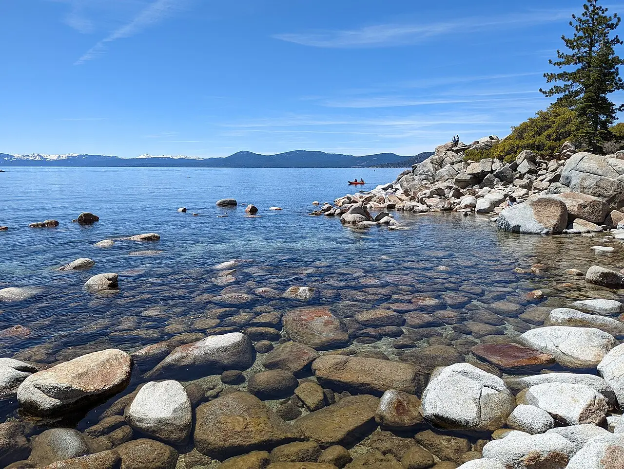
Emerald Bay: Noahidsmith, CC BY-SA 4.0. Resized and cropped for display. These photographs are scenic illustrations of the destinations, not live camera images.
Tahoe Chat
Opening chat...
Your Tahoe people, right here.
Join the community conversation, message a friend, or start a group.