

Sources and closure map reviewed October 25, 2026. Route lengths below identify their endpoints; they are not current trail-condition reports.
Yes, you can hike Lake Tahoe’s Marlette Flume Trail, but the famous 4.3–4.4-mile section is only part of the outing. You must add a substantial uphill approach and a return or arranged pickup. The separate Incline Flume Trail starts above Incline Village on Mount Rose Highway and offers a gentler out-and-back choice. Choose the trail first, then choose parking.
Which Flume Hike Fits Your Day?
| Choice | Distance and effort | Best fit |
|---|---|---|
| Classic Marlette traverse | Roughly 13–14 miles one way from Spooner to the Tunnel Creek area. Long day, early climb and exposed sections. | Strong hikers with confirmed endpoint transport and enough daylight. |
| Marlette from Tunnel Creek | Budget roughly 6.6 miles for the mapped road out-and-back before adding any Flume exploration or parking connectors. | Hikers who want to return to their own car and accept a steep approach. |
| Short Incline Flume out-and-back | Our sample is 2 miles out, then the same 2 miles back. Turn around sooner if needed. | A more adjustable forest walk without committing to the entire network. |
| Whole Incline Flume | The park’s map lists the segment as 6.3 miles one way: about 12.6 miles back to the same trailhead, before any extra connectors. | A planned long outing; fairly level does not mean short. |
The park’s detailed backcountry map labels Marlette Flume as 4.3 miles, while the park webpage says 4.4. The tourism hiking brochure gives the classic traverse as 13 miles; the shuttle operator describes its shop-ending ride as 14. Different endpoints and rounding matter. Use one complete mapped route rather than mixing the shortest number from each source.
Current Access: Read the Map, Not an Old Closure Headline
Flume Trail Bikes reports daily classic-route operation from September 26 and expects 2026 shuttles through November, weather permitting. That is an operator update, not a winter-access promise. The Tahoe Rim Trail condition page is useful for connecting routes, but it still carries broad 2026 construction wording that differs from the September park map. When they differ, ask the park about your named route: 775-749-5980.
Marlette Flume: Two Ways to Build the Hike
From Spooner: a full traverse
1. Spooner Lake day-use trailhead
2. North Canyon approach → Marlette Lake
3. Follow the lake toward the west-side Flume entrance
4. Marlette Flume north → Tunnel Creek Road
5. Descend to the Tunnel Creek area and your confirmed pickup
The tourism brochure places the Flume start about 5.5 miles from Spooner via the North Canyon fire road. This is a long approach before the famous lakeside traverse. The operator’s complete route lists about 1,100 feet of climbing; the major climb comes early. That figure describes its ride, not a measured elevation profile for every hiking variation.
From Tunnel Creek: return to your car
1. Legal parking near Ponderosa Ranch Road
2. Walk uphill behind Tunnel Creek Cafe to the dirt road
3. Continue toward the signed Marlette Flume junction
4. Add only the Flume distance you can retrace
5. Return down the same road to the starting area
The park map lists Tunnel Creek Road as 3.3 miles. For conservative planning, allow about 6.6 miles for the road out-and-back, plus parking connectors. Walking 1 mile along the Flume and retracing it makes an approximately 8.6-mile plan. This is arithmetic from mapped segments, not a GPS-recorded hike or a guarantee of a particular viewpoint at mile one.
At the junctions, keep the names straight: Incline Flume heads toward Mount Rose Highway; Marlette Flume heads toward Marlette Lake. The Tahoe Rim Trail and other backcountry connectors create different itineraries. Monkey Rock is a separate spur near the lower approach; visiting it does not mean you have completed the Flume. Our Monkey Rock guide covers that shorter destination.
How steep and exposed is the Marlette route?
The park map gives Tunnel Creek Road an average grade of 9.4%, with much steeper individual sections. Marlette Flume itself is gentler overall, but its maximum listed grade is 21%. These are route-map grades, not a wheelchair-accessibility assessment. The Washoe County trail guide describes steep traverses and places much of the Flume around 1,600 feet above Tahoe. Its older route length is 13.75 miles one way.
If exposed edges, loose footing or passing bikes are uncomfortable, choose a shorter Incline Flume outing or a suitable section of the paved East Shore Trail. A nearly level traverse can still have serious consequences for a misstep. Do not move toward an exposed edge to make room for a rider.

Incline Flume: Choose Your Turnaround Before You Start
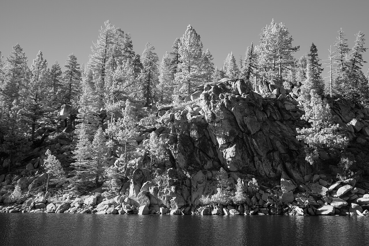
The Forest Service-led reconstruction record identifies Mount Rose Highway/SR 431 access and connections to Tyrolean, Diamond Peak roads and Tunnel Creek. Tahoe Fund describes the route as relatively easy and flat. That describes the character of the trail, not every approach, crossing or possible loop.
For a first visit, our sample plan is an out-and-back capped at 2 miles outbound. Follow the signed Incline Flume, stay on that route at junctions, and retrace it. Record your start and turnaround on an offline map. The two-mile point is a chosen distance limit, not a named landmark, and you can turn earlier for weather, footing, fatigue or time.
Do not accidentally convert that walk into the whole one-way route. The park map lists Incline Flume as 6.3 miles; the tourism brochure uses six and adds another three for descent to Incline Village. Nevada Land Trust describes the larger trail as seven miles. These sources do not establish identical start/end measurements. A plan to finish at Tunnel Creek needs a separate return ride to SR 431.
What are the Bull Wheel and the “missing link”?
Nevada Land Trust documents the public transfer completed in 2021 and restoration of a 0.3-mile missing link. The nearby historic Bull Wheel was used between 1880 and 1894 in the lumber operation. This explains why older descriptions can refer to private-land gaps. Stay on the authorized trail and leave historic structures undisturbed. The history does not supply a verified mileage from your chosen trailhead to that artifact.
Trailheads, Parking and Arrival Maps
For the Spooner traverse: enter the signed Spooner Lake State Park day-use area from SR 28 near US 50. Do not navigate to the park’s Incline Village mailing address or confuse Spooner Lake parking with a different Spooner Summit trailhead. The park lists day use from sunrise to sunset and vehicle entry at $10 Nevada / $15 non-Nevada. Check facilities on arrival and carry your hiking water before starting uphill.
For Tunnel Creek: public Ponderosa parking is at 1102 Tahoe Boulevard. Pay on arrival using the correct plate and a credit card; rates vary by hour, season and day. Cafe parking and the bike shop lot are separate. The bike shop’s free parking offer is for customers using its services, not general permission for every hiker.
Spooner Lake day-use arrival
Ponderosa / Tunnel Creek approach
These are arrival-location maps, not trail tracks. Use the linked park trail map for junctions and the separate closure map for construction status.
For Incline Flume from SR 431: the tourism brochure places the access about a quarter mile beyond the scenic overlook uphill from Incline Village, with a paved pullout on one side and the trailhead across the highway. Locate Incline Flume Trailhead, then obey current parking signs. The highway crossing is part of your decision, particularly with children. Do not treat the overlook lot as the trailhead or assume winter roadside access is available.
Are parking and park-entry fees the same charge?
No. Park Tahoe parking is separate from Nevada State Park admission. The state’s walk-in rule lists $2 per person at fee-charging parks. Budget for that when entering the backcountry on foot from outside the park and follow the posted collection instructions. A state-park pass does not waive Park Tahoe parking. Do not add a second walk-in charge to a normal Spooner vehicle-entry visit without checking the applicable admission rule.
Use toilets before starting. The park map marks facilities at Spooner and the lower Tunnel Creek area, but it does not guarantee every facility is open on your date. Do not rely on a cafe being open, a remote hand pump functioning or untreated lake water being drinkable.
Make the Distance, Daylight and Cost Add Up
Our planning calculation: at a moving pace of 1.5–2 mph, a 4-mile Incline out-and-back takes about 2–2 hours 40 minutes before stops. The 8.6-mile Tunnel Creek plus partial-Flume example takes about 4 hours 20 minutes–5 hours 45 minutes moving; adding an hour for breaks makes roughly 5 hours 20 minutes–6 hours 45 minutes. The full 14-mile traverse becomes 7–9 hours 20 minutes moving, before breaks and transport. These are arithmetic examples, not measured trail times or a promise that your group can maintain that pace.
See the time commitment before choosing a route
One planning example: 1.5 mph while moving, plus one hour of breaks. Bars use the same 11-hour scale; the dark portion is walking and the gold portion is breaks. Your pace may be slower on climbs, loose ground or crowded sections.
Short Incline out-and-back
4 miles · 3 hr 40 min
2 miles out + 2 miles back
Tunnel Creek + partial Flume
8.6 miles · 6 hr 44 min
Mapped road both ways + 1 mile of Flume each way
Whole Incline out-and-back
12.6 miles · 9 hr 24 min
6.3-mile mapped segment in each direction
Classic Marlette traverse
14 miles · 10 hr 20 min
One way; requires confirmed endpoint transport
If your usable window is six hours: the short 4-mile Incline example leaves about 2 hours 20 minutes for extra approaches and delay; the 8.6-mile example already exceeds that window by about 44 minutes. Choose a shorter route or turn back earlier rather than trying to recover time by walking faster.
Arithmetic from the route choices above, rounded up to whole minutes. These are not measured hiking times, an elevation profile or a daylight forecast. Additional parking approaches, transport and unexpected delays are excluded. Check sunset and conditions for your date, leave a margin, and set a turnaround that works for the slowest person. A one-way arrival is not the end of the trip unless the return is arranged.
Check the shuttle clock against hiking speed: the posted 2026 Spooner schedule, reviewed October 25, starts at 9:30 a.m. on weekends and 10:30 a.m. midweek. Those are van departures, not trail starts. Even the faster 2 mph example requires seven moving hours for 14 miles: adding that to departure alone reaches 4:30 p.m. or 5:30 p.m., before the drive, stops or delays. The same page lists a 5 p.m. shop closing time. Shop closing is neither a daylight deadline nor a confirmed hiker pickup. For a full traverse, arrange an earlier start and a return plan that fits your group’s conservative pace and that day’s daylight; otherwise choose an out-and-back with a firm turnaround. Confirm that hikers can use the service before booking. Its shop is at 1115 Tunnel Creek Road; the public Ponderosa parking address above is a different arrival point.
Choose a latest finish that leaves daylight and a margin, subtract your conservative return estimate, and set the turnaround alarm before leaving. On an out-and-back, the farthest point is only halfway through the distance. For a full traverse, confirm the pickup first; do not discover at the finish that the last shuttle was intended for bikes or has already left.
Fall weekend parking example
The currently posted Ponderosa chart charges $1 for 8–9 a.m., $4 per hour from 9–11, and $5 per hour from 11 a.m.–3 p.m. Parking from 8 a.m. to 2 p.m. totals $24: $1 + $8 + $15.
Two hikers budgeting $2 each for park entry would allow $28 before food or transport. This six-hour parking window is an example, not enough for every hike. Choose and pay for the time you actually need.
Spooner vehicle example
Four people sharing one non-Nevada car pay the listed $15 vehicle entry, or $3.75 each when split equally. That does not include transport back from Tunnel Creek.
The operator advertises a $22-per-rider shuttle with a two-rider minimum. Its service is described for mountain bikers. Hikers must confirm acceptance, exact pickup, timing and the total charge directly before relying on it.
Check the Ponderosa rate chart; summer and holiday prices differ, and on-site charges control. The chart prohibits overnight parking from 11 p.m.–5:30 a.m. For shuttle questions, contact Flume Trail Bikes, 775-298-2501. Public transit or a rideshare is not a confirmed backcountry retrieval plan. See our car-free Tahoe guide for broader transport choices.

Hikers, Bikes, Dogs and Changing Conditions
Both Flume routes are shared-use trails. Listen before blind bends, keep the group together, communicate and pass at a stable wider place. Do not assume a fast-moving rider has seen you. The county guide explicitly lists hiking on the Marlette route. The even-date bicycle rule on the Tahoe Rim Trail’s Tunnel Creek-to-Mount Rose section is not a rule limiting hiking on all Flume trails.
Nevada State Parks requires dogs on a leash no longer than six feet. Consider whether your dog can handle bikes, exposure, heat and a long waterless approach; a leashed dog can still pull someone off balance. Pack out waste. Families wanting a shorter destination can compare our easy-hike guide.
Snow, ice, storms and smoke can change the outing substantially. A road open to cars does not establish that the high trail is suitable for an ordinary hike. Use the official road and weather links, inspect the dated trail reports and choose a lower alternative when conditions exceed your preparation. Bring an offline map, headlamp, food, water, layers and the means to manage your planned day; do not count on mobile coverage to arrange the return.
See the Spooner Backcountry Setting
PBS Reno’s Wild Nevada episode “Tahoe Rim Trail” follows a two-day hike from Tahoe Meadows toward Spooner, with views of Marlette Lake and nearby ridges. PBS lists May 31, 2020 and a 26-minute runtime. This is historical regional context on a different route, not a current Flume trail-condition report or instructions to add its 23-mile itinerary to your day.
Watch the full PBS episode and transcript.
Flume Trail Hiking FAQs
Is the Flume Trail only for mountain bikes?
No. Hiking is permitted on the Marlette Flume, and Incline Flume also serves hikers. Choose the exact trail and check any temporary restrictions on the day.
Can I do the famous Flume views in a quick roadside walk?
The Marlette traverse requires an approach. The scenic photo does not begin at the parking lot. For a short lake-view outing, compare a suitable East Shore Trail section or Monkey Rock rather than assuming the 4.4-mile figure starts beside your car.
Is the Incline Flume a six-mile loop?
No. The commonly quoted six-to-seven-mile figures describe a one-way trail segment. Return on the same route, arrange transport for a point-to-point walk, or map a specific loop with every connector included.
Can beginners or children hike it?
Start with the least experienced person’s distance, footing and exposure tolerance. A short Incline out-and-back is easier to adjust than the full Marlette traverse, but the SR 431 crossing and high-elevation conditions still need consideration. Neither description establishes stroller or wheelchair suitability.
Do I need a shuttle?
Not for an out-and-back to your own car. A one-way traverse needs a confirmed return arrangement. Do not assume a mountain-bike shuttle carries hikers without asking.
Continue with the Tahoe hiking overview, East Shore Trail, Monkey Rock or winter snowshoeing alternatives.