

Lake Tahoe hiking in April and May is possible, but choose the outing by snow, footing and access. Start with a short paved walk or a lower trail that is confirmed suitable for your group. A sunny lakeside afternoon does not mean Mount Tallac, the Tahoe Rim Trail or a shaded canyon is ready for summer hiking.
By I Love Lake Tahoe Editorial Team · Reviewed October 25, 2026. This is a spring planning guide, not a forecast or a claim that these routes are clear today. The next spring’s opening dates and trail conditions require fresh checks.
April versus May: what actually changes?
April: keep the route flexible
Plan around a short out-and-back with an early exit. Check whether the parking area is accessible and the walking surface is clear. Seasonal visitor centers and trailhead toilets may still be closed.
A paved trail can be the better choice when nearby dirt trails are saturated, provided the pavement itself is free of hazardous ice or snow.
May: more possibilities, no universal opening day
Recheck lower trails as conditions improve, but do not extend a walk into snow-covered terrain just because a gate has opened. Shaded sections and higher routes can remain wintry.
Memorial Day is a planning date, not proof of a snow-free route, operating restroom or running shuttle.
The Tahoe Rim Trail Association notes that storms can occur in April, May and June, and that trail snow can persist into late June or July in heavy years. Its winter article also contains older prices and event dates; use it for seasonal context, then check current managers’ notices for fees and access.
Choose by the surface you can actually use
Tahoe Donner’s trail guidance asks visitors to stay off muddy trails. Before mountain travel, read the current Sierra Avalanche Center advisory and route-specific forecast; check the advisory’s date and coverage. Absence of a current bulletin is not evidence of safe conditions.
East Shore: paved lake views
East Shore Trail: 3 miles one way; about 6 miles if you return on foot. A shorter timed out-and-back is an option. Pavement includes hills.
South Shore: compact nature loop
Rainbow Trail: about 0.5 mile, with pavement and boardwalk. Choose it only after confirming seasonal parking and usable surfaces.
Truckee: flexible riverside walk
Legacy Trail: use a 20–30-minute outward limit from Regional Park, then retrace. This is a timed outing, not a promise to finish the full trail.
West Shore: short viewpoint climb
Eagle Rock: roughly 0.7–0.8 mile out and back. Dirt and rock, uphill footing and exposed edges make this a dry-trail choice rather than a paved fallback.
Four spring options, with starts and turnarounds
1. Tahoe East Shore Trail: choose your return distance
Start at Ponderosa parking, 1102 Tahoe Boulevard, Incline Village, and follow the signed paved trail south. The initial hillside section leads through the highway underpass to the lakeside path toward Sand Harbor. Stay on the main pavement; beach spurs are separate surfaces.
Tahoe Fund’s trail description gives a 3-mile, 10-foot-wide path with grades reaching 8%. It meets ADA design standards, but it is not level and spring ice can change its usability. A full out-and-back is about six miles, plus parking access.
Short version: walk outward for up to 25 minutes and return the same way; turn sooner for unsuitable conditions. This may end before the shoreline section. Do not promise Sand Harbor on a short walk or depend on an unverified return bus.
Parking and services: TTD lists 90 paid spaces, with card-and-license-plate payment due on arrival. The café’s lot is separate. Snow can restrict access. Bring water and confirm an operating restroom before starting. Roadside parking along SR 28 is prohibited; if the designated lot is unavailable, change the plan.
Spring parking calculation: the posted chart labels March 1–May 23 as spring. A 9–11 a.m. stay costs $6 Monday–Thursday or $8 Friday–Sunday at its listed hourly rates, before any checkout fees. Holiday and later-May columns differ. Confirm your actual date and total at the kiosk; these published ranges are not a guarantee of next spring’s prices.

Read the East Shore Trail guide for more detail and the Sand Harbor guide before adding separate park entry.
Arrival orientation, not a current parking report or trail track. Follow the paved East Shore signs rather than the uphill dirt route toward Monkey Rock.
2. Rainbow Trail: a half-mile loop when access is suitable
Start at Taylor Creek Visitor Center, 35 Visitor Center Road, on the lake side of SR 89 northwest of South Lake Tahoe. Follow the signed Rainbow loop back to the center; do not add a beach spur unless you have allowed for the extra distance.
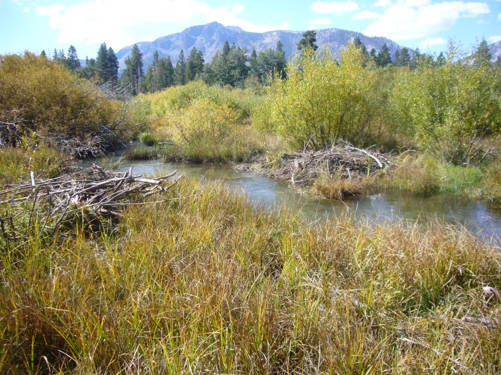
The tourism route description gives a half-mile paved walk, with an improved elevated boardwalk through wetland habitat. Allow 45–75 minutes for a relaxed nature stop; that is our suggested allowance, not a measured walking time. Spring visitors should not expect the fall salmon display.
Seasonal catch: the Forest Service lists free site access, foot traffic year-round and seasonal parking. It describes the center as typically June–October, with a broader May/June season listing. Do not count on an April or May opening without a dated notice. When closed, restrooms and trash service are unavailable; potable water is not listed as available. Call 530-543-2674 if your outing depends on parking or facilities.
The agency describes the trail as accessible; snow, debris or closure can still prevent a usable visit. Dogs must be leashed on permitted trails and kept out of the marsh and Stream Profile Chamber. If the vehicle gate is closed, use another confirmed starting point or choose a different outing; do not block the entrance.

Forest Service location for the visitor center. The pin does not confirm an open gate. The separate Taylor Creek SNO-PARK is not the visitor-center parking lot.
3. Truckee River Legacy Trail: control the length
Use the Truckee River Regional Park entrance off Brockway Road, then follow signed access to the paved Legacy Trail along the river. The park district describes the connection from Regional Park to Glenshire and permits bicycles and leashed dogs.
Our short plan: spend 20–30 minutes outward, stop clear of bicycle traffic, then retrace the same path. Allow roughly 60–90 minutes including finding the trail, pauses and the return. This avoids committing to a long through-route or needing a second vehicle. It does not assign a fixed mileage to your walking speed.
The Truckee Donner Land Trust describes parking at Regional Park and notes that the trail is often clear or plowed in winter; that is not a promise of bare pavement today. Check the park’s current notices, which include a 2026 construction area, and follow signed access rather than crossing fencing. Confirm toilets locally and bring water. Open the park arrival map.
Route preview: the park district links this short video of the Legacy Trail. It helps show the paved shared-use setting; it does not establish spring snow, plowing or construction conditions.
4. Eagle Rock: save the climb for dry, suitable footing
Start at the signed trailhead immediately south of Eagle Rock, off SR 89 near Homewood. The California Tahoe Conservancy describes improved parking there and an approximately 20-minute ascent. Follow the maintained trail uphill and return the same way; old erosion gullies are not shortcuts.
Visit Lake Tahoe gives 0.7 mile out and back and also describes a roughly 0.4-mile ascent. Budget approximately 0.7–0.8 mile total and 45–75 minutes with a viewpoint pause. The source’s November 2025 hazard-tree closure notice is historical; check current signs rather than treating that old notice as today’s status.
This is a rocky uphill walk with exposed summit edges, not a stroller route or a snow-free guarantee. Skip it when ice, snow or saturated ground makes the climb unsuitable. Bring water and use a restroom beforehand; do not rely on trailhead facilities. Keep dogs leashed under local rules. Open the signed trailhead area map.
Gates, snow and routes that need extra caution
Van Sickle: pedestrian access is different from vehicle access
Nevada State Parks lists free pedestrian access year-round, sunrise to sunset, with the usual vehicle season May 1–October 31. Check a current opening notice before relying on that schedule.
A newer October 23, 2026 notice sets that year’s vehicle/facility closure for November 2 and identifies a partial Nevada-side construction closure. It also confirms no winter restrooms, water or trash collection. Enter only where permitted, including the main entrance at Heavenly Village Way and Montreal Road; do not assume the waterfall or a higher connector is clear because pedestrians may enter the park.
Fallen Leaf, Shirley Canyon and high mountain routes
Fallen Leaf Lake requires separate checks for campground day parking, shoreline footing and access to Glen Alpine. A lake pin is not a guarantee that its approach road is open.
Palisades Tahoe specifically warns that Shirley Canyon’s granite slabs can be slippery in late spring and that ice and snow may persist into early summer. Waterfall season does not make wet rock safe.
Keep Mount Tallac, higher Tahoe Rim Trail sections and Desolation routes outside a casual spring walk plan unless current conditions, navigation skills and equipment fit the objective. Do not use a summer distance/time estimate for travel over snow. A snow-covered trail is not necessarily administratively closed, but it can be unsuitable for your group.
SNO-PARK fees can still apply in spring. California’s current program page gives a November 1–May 30 permit season and $15 daily / $40 seasonal permits. These apply to designated SNO-PARK parking, not every Tahoe trailhead. A permit does not reserve a space or authorize passage through a closure.
Two practical spring day plans
April: a short East Shore morning
Confirm the Ponderosa lot and paved path are usable. Allow two hours for parking, a 25-minute outward walk, the return and pauses. A 25-minute walk out plus 25 back leaves 70 minutes within that two-hour window for unloading and breaks; turn sooner if conditions change.
If ice blocks the route, cancel the walk rather than switching to a snowy uphill trail. Keep a nearby indoor or lodging-based backup. Pay only after reading the current rate and restrictions.
May: a South Shore nature visit
Confirm Taylor Creek’s gate and facilities first. If the lot and loop are usable, choose Rainbow Trail for a 45–75-minute visit. Make any shoreline extension optional, and carry water regardless of the center’s opening status.
If access is unavailable, use the family activity guide to select an open indoor option near your lodging. Do not drive around the entire lake searching for a dry trail during a storm.
Distance check: at an illustrative 1.5–2 mph moving pace, the full six-mile East Shore return takes 3–4 hours before breaks and parking access. A half-mile loop takes 15–20 minutes of movement at that same pace, leaving room for interpretation stops within the suggested Rainbow visit. These are arithmetic comparisons, not predicted pace on snow or an accessibility assessment.
Spring hiking questions
How do I check conditions without relying on an old report?
Check the land manager’s dated alert first, then the TRTA section report, the route-specific National Weather Service forecast and road conditions. Read each observation’s date: a page called “current conditions” can contain older section entries. A snow-depth station at another elevation does not describe every shaded trail segment.
At the trailhead, reassess the actual surface and access. Turn back for a closure, route-finding uncertainty, unsafe ice, high water or a return that exceeds your remaining time. Let someone know the route and expected return; carry offline navigation, water, food, warm layers, rain protection, a light and a charged phone.
For more options once conditions suit ordinary hiking, compare the main Lake Tahoe hiking guide. Choose a snow outing separately using our snowshoe planning guide, rather than treating it as the same trip with different shoes.
Editorial method: route dimensions and access rules come from the linked land managers, transportation agency and tourism descriptions. Suggested visit lengths, short-walk limits and parking comparisons are our planning calculations. We have not performed a new field survey or guaranteed future spring openings. Maps show arrival areas; the photograph and video illustrate settings, not live conditions.