

Researched by the I Love Lake Tahoe Editorial Team. Sources checked October 25, 2026.
Tahoe City is a good Lake Tahoe base when you want a beach, a walk through town and a meal without turning each stop into another drive. Start with Commons Beach, add the lakefront and historic sites, then choose one longer outing. Our first-visit recommendation is a downtown half day; add paddling in suitable summer conditions or the Gatekeeper’s Museum when its seasonal hours fit.
Tahoe City sits on the California side at Lake Tahoe’s outlet to the Truckee River. It is different from South Lake Tahoe and from Truckee. Use this guide for the town itself; use our four-shore comparison when deciding where to base a whole vacation.
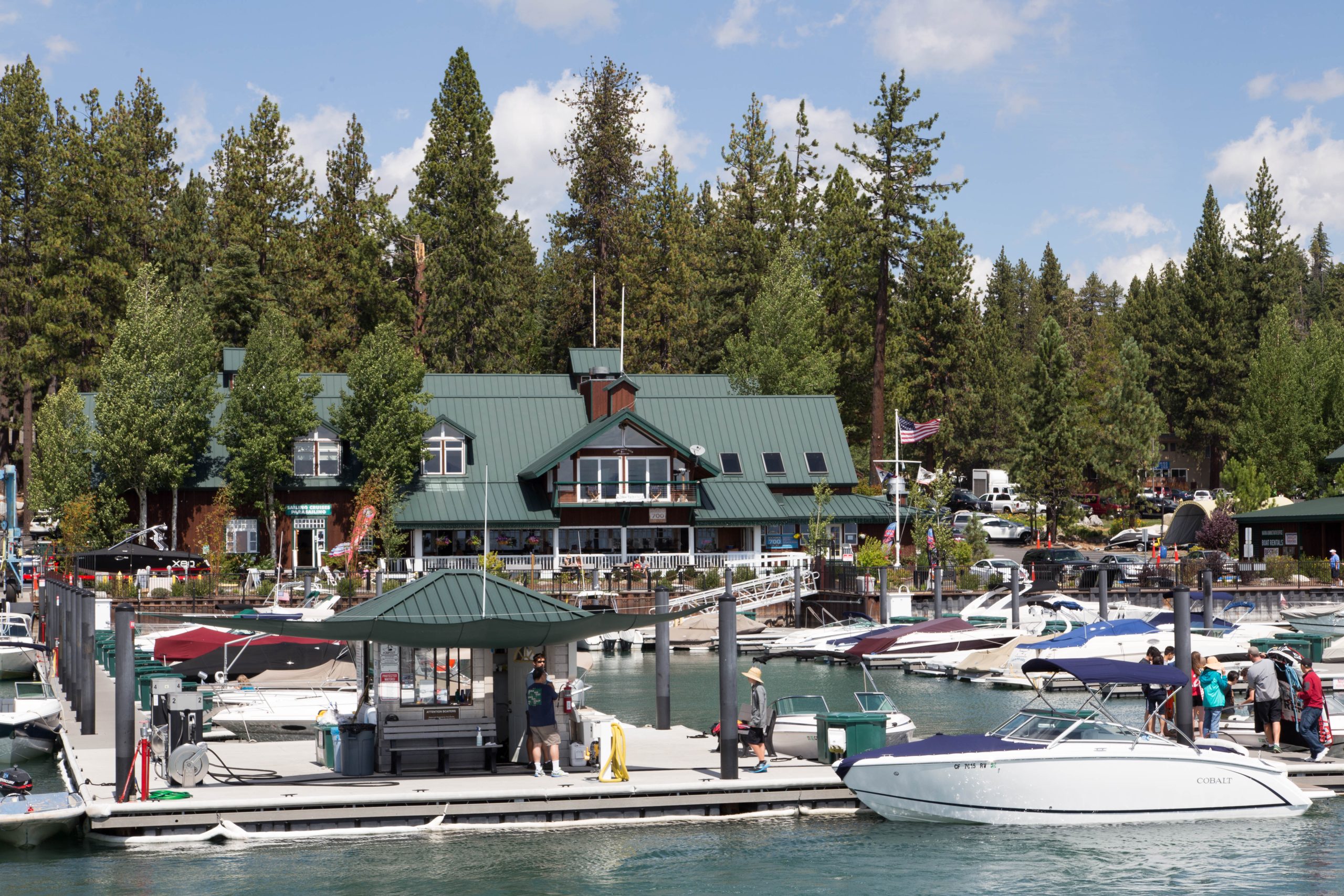

Choose Your Tahoe City Day
These are our suggested time budgets, not measured walking times or bookable tours. Begin with the version that fits your group, then check opening hours and conditions.
Two hours: town & lake
Commons Beach → lakefront → meal or coffee. Spend most of your time in one place. With small children, make the playground the main stop and keep the walk optional.
Choose this for a road-trip break. Skip a paid activity if arrival is late or parking takes longer than expected.
Half day: history & waterfront
Gatekeeper’s Museum → Commons Beach → Watson Cabin exterior → lunch. Plan the museum around its 11 a.m. opening on operating days. The historical society’s walking-tour map connects the town’s landmarks.
Choose this for a first visit. The cabin interior and museum have different seasons.
Full day: one booked activity
Summer paddling or a trail outing → lunch → relaxed town time. Reserve one main activity, then leave the rest flexible. In winter, substitute a confirmed snow-play booking from our winter guide.
Choose this when staying nearby. Do not make a second-shore attraction essential to the same day.
Tahoe City Map: Orient Yourself Before Parking
The downtown waterfront runs along North Lake Boulevard. The museum and river outlet are at the western end; Commons Beach and Watson Cabin help anchor the town-center walk. The map below locates the town. Use the named destination links for an arrival route, and posted crossings for the final approach.
Transit Center / 64 Acres · Gatekeeper’s Museum · Commons Beach · Watson Cabin
For an actual route diagram, open the historical society’s illustrated downtown walking tour or the TCPUD multi-use trail map (PDF). The trail map is dated 2021; pair it with current trail notices. Neither a location pin nor a historic map establishes today’s accessible route.
Things to Do in Tahoe City
1. Make Commons Beach your easy starting point
Commons Beach combines lake access with a grassy park, picnic areas, a playground and restrooms. The California Tahoe Conservancy describes it as free public waterfront. Our recommendation is to use it as the anchor of a short visit, rather than trying to fit several beaches into one afternoon.
Arrival: TCPUD lists 400 North Lake Boulevard. The beach concessionaire’s arrival directions identify Commons Beach Road, with an upper lot and a lower lot by the water. If stairs are unsuitable, inspect the lake-level approach before committing to an upper parking space. We have not measured its slopes or certified a wheelchair route.
Dogs: the park operator’s current rule allows leashed dogs on the paved multi-use trail, but excludes dogs from the beach. Keep that distinction in your plan. Check our dog beach guide for alternatives.
2. Visit Gatekeeper’s Museum, then look at the river outlet
The Gatekeeper’s Museum, at 130 West Lake Boulevard beside the dam, covers Tahoe history and has a Native American basket collection. Its published schedule is Wednesday–Sunday, 11 a.m.–4 p.m., April 1–October 31; November–March visits are by appointment. Call 530-583-1762 before making it your winter indoor backup.
Listed admission is $10 general, $9 senior/military, and free for children 12 and under and members. The museum warns that its adjacent State Parks lot charges separately; it points visitors toward the free Transit Center parking across the street. Use the marked crossing. A museum ticket does not include that parking charge.
3. Use Watson Cabin as a history stop, with seasonal expectations
Watson Cabin is at 560 North Lake Boulevard. The historical society’s 2026 notice lists its regular summer opening through September 6. That season has ended as of this review. A separate special event does not imply daily access. An exterior stop still fits the town walk; confirm interior opening before promising it to your group.
The society’s walking tour adds historic photographs and a route map, including the marina, former railway waterfront, cabin, jail, dam and museum. It also begins with Washoe history, giving the walk context beyond the buildings. Allow time to read a few stops rather than treating the list as a race.
4. Walk or ride part of the multi-use trail network
TCPUD maintains a 23-mile network serving the North and West Shores and Truckee River corridor. That is the entire network’s length, not a recommended downtown walk. Start at 64 Acres for the river corridor, select a short out-and-back on the official map, and turn around while the group still has energy for the return.
Walkers and cyclists share these paths. The operator asks users to keep right, pass safely, and have bicycles yield to pedestrians. A paved path can still have ice, snow or maintenance interruptions. In winter, TCPUD clears only part of the network as conditions and staffing allow.

5. Rent a kayak or paddleboard at the water
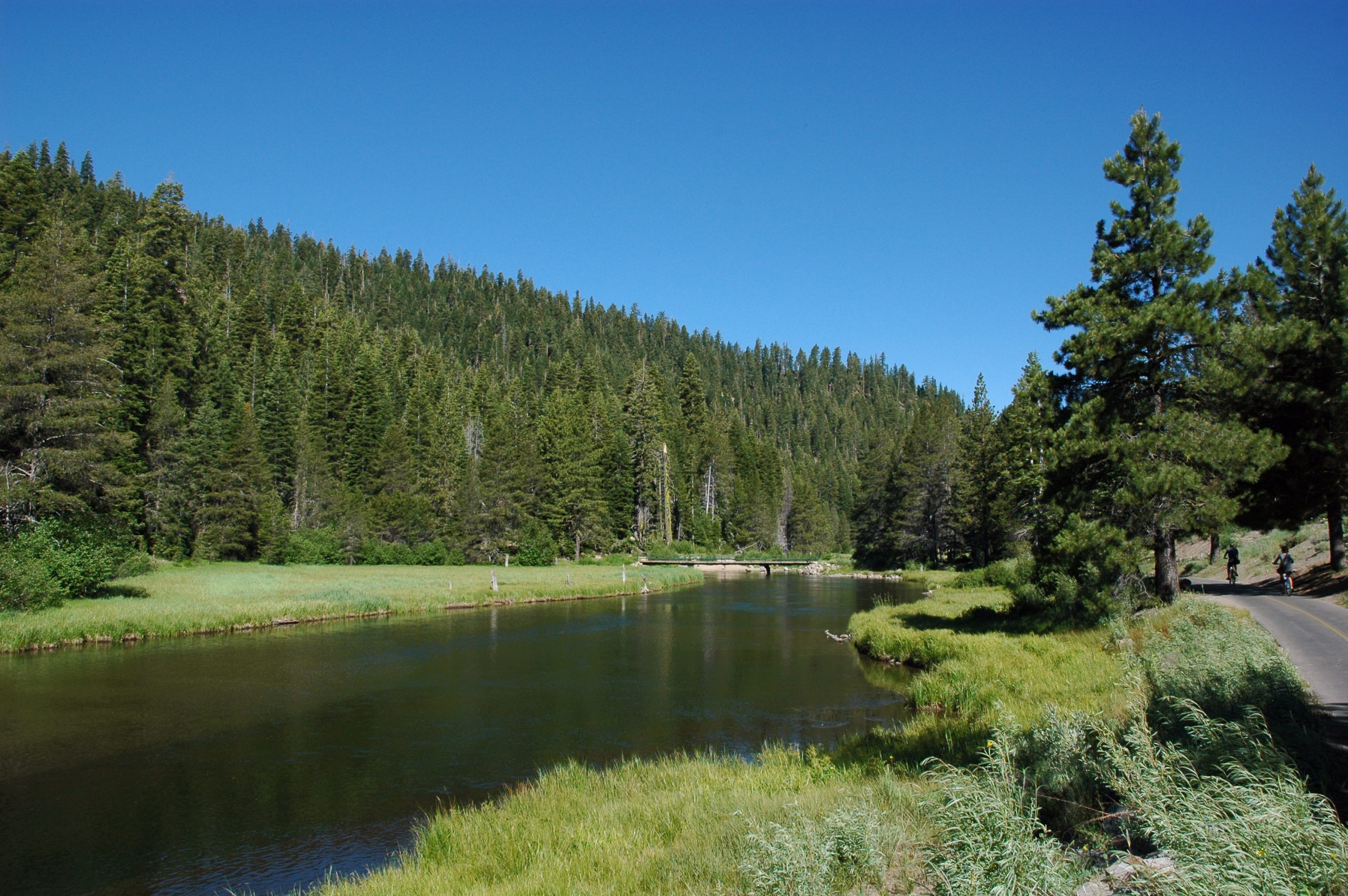
Tahoe City Kayak directs rental customers to its Commons Beach tent, rather than its separate retail shop. Published one-hour rates are $32 for a single kayak or paddleboard and $48 for a double kayak. A paddle and life jacket per seat are included. These are advertised rates checked October 25, 2026, not a confirmed reservation or all-in quote.
The operator lists a minimum age of five for a child sharing a double with an adult, and ten for a single kayak or paddleboard, with adult supervision. Rentals are seasonal and weather-dependent: confirm operation, wind and return requirements directly. If conditions do not suit paddling, keep the beach-and-town plan instead.
Where to Park in Tahoe City
| Parking choice | Useful for | Watch for |
|---|---|---|
| Commons Beach upper/lower lots | Beach, playground, on-water rentals | Events, full lots and the difference between upper stairs and lake-level arrival |
| Transit Center / 64 Acres | Transit, river trail, museum visit | Road crossings and your return walk; do not infer overnight permission |
| Grove Street or Jackpine public lots | Town shops and meals | Actual space availability and posted restrictions |
| Highway 28 street spaces | A shorter town stop | Peak-season two-hour limits; unsuitable for our full-day plan |
| Lot beside Gatekeeper’s Museum | Closest museum arrival | Separate State Parks day-use charge |
The Downtown Association’s parking guide identifies the public lots and street time limits. Park in public spaces rather than occupying a business’s customer lot for a day elsewhere. If a lot is full, choose another public lot or shorten the outing; do not build the day around an unverified roadside space.
Visit Tahoe City Without a Car
TART Highway 89 connects Tahoe City, Olympic Valley and Truckee. Regional TART bus fares are free. Plan from the exact stop near your lodging, check the outward and return timetable, and leave time between a booked activity and the final service you intend to use.
Fall 2026: TART Connect lists Zone 1 for West Shore, Tahoe City and Dollar Hill, 8 a.m.–10 p.m. daily, September 8–December 11. On-demand rides depend on availability and zone rules. Direct rides between the principal North Shore zones are unavailable; Olympic Valley service has evening restrictions, and this service does not go to Incline Village. Bring and install any required child seat. North Lake Tahoe service allows service animals only.
A workable sequence: confirm your lodging’s stop or zone → travel to the town → keep your outing downtown → return with a buffer. For Reno arrivals, book the separate airport connection first using our Reno–Tahoe City airport guide. Local free transit does not mean a free airport pickup.
Video: TNT TMA, linked by TART. The player loads directly; press Play to watch. Use the dated operator schedule above for current service details.
Meals and Where to Stay
Choose your meal around the outing. For a two-hour stop, eat in the town center and keep the car parked. For a longer beach day, bring a picnic or choose a nearby lunch before committing to a timed rental. For a special dinner, book the table before planning the return ride; check the restaurant’s current menu and service days.
Three concrete meal options in town
- Before the walk: Rosie’s Cafe, 571 North Lake Boulevard, publishes an 8 a.m. weekend kitchen opening and 9 a.m. on weekdays. It fits a later breakfast near Watson Cabin. Its Tuesday kitchen closes at 4 p.m., earlier than other listed days; do not assume it will serve dinner that night.
- After the beach: Za’s Lakefront, 120 Grove Street, lists daily 11:30 a.m.–9 p.m. service. Its indoor dining works beyond summer; the operator describes the patio and Side Bar as May–September features. Choose it for a lakefront lunch, checking that day’s service first.
- A planned evening: Christy Hill, 115 Grove Street, lists Wednesday–Sunday, 5–9 p.m., and offers dinner and tasting menus with online reservations. This is the option to book around rather than squeeze between sightseeing stops.
These are location-and-schedule comparisons checked October 25, 2026, not claims of editor meals or a ranking of food quality. Confirm dietary needs, menus and holiday exceptions with the restaurant.
The Downtown Association’s lodging directory is a starting point for town-center inns and lake- or riverfront stays. Compare the actual address with the map above. An accommodation using “Tahoe City” in its address need not put your chosen meal or beach within a comfortable walk.
- Town-focused stay: prioritize a room near your intended food and waterfront stops; confirm parking and any resort charges.
- West Shore holiday: compare a base nearer the parks you will visit, accepting a separate journey into downtown.
- Ski-focused stay: choose the mountain first, then compare the morning trip from Tahoe City with lodging near that resort.
Our lodging guide covers property choices; the ski-resort comparison helps decide which mountain should determine your base.
Summer, Fall, Winter and Spring Plans
Summer: make the waterfront the main outing. Check the actual date on the park’s concert and market links before adding an event. A recurring summer description is not a year-round event calendar.
Fall: keep the downtown walk, lunch and an operating museum day as the backbone. Rental stands and cabin interiors may already be closed. October’s plans should not assume July’s timetable.
Winter: choose a confirmed activity from our Tahoe City winter guide, then add food in town. Treat lakefront walking as optional when icy. The museum is appointment-only November–March, so it is not a dependable walk-in refuge.
Spring: use the same flexible town plan until the activity operator confirms its opening. Consult official road and weather sources and trail notices before extending the day. A calendar date alone does not prove snow-free paths.
Compare the Activity Cost Before You Go
| Example outing | Calculation | Activity subtotal |
|---|---|---|
| Beach, public waterfront and town walk | No activity ticket | $0 |
| Museum: two general-admission adults + two children 12 or under | 2 × $10 + 2 × $0 | $20 |
| Two adults sharing a double kayak for one hour | 1 × $48 | $48 |
| Two adults each renting a single kayak for one hour | 2 × $32 | $64 |
The shared kayak saves $16 in this comparison, but only choose it if the boat and seating fit your party and the operator approves the outing. A free town day may be the better choice when weather is uncertain. Add your own lodging, food and transport figures in our trip cost calculator.
What Does Reddit Have to Say?
In the public “Waterfront Kayak rental” discussion, displayed as two years old when checked, the question was about renting directly at the water without transporting a boat. User Otter91GG described renting at Tahoe City’s beach with the playground; ggibby linked Tahoe City Kayak among several options.
That is useful context for choosing an on-water rental rather than collecting equipment from a shop. It is an anecdotal discussion, not a current opening report or a representative vote. We checked the operator’s present arrival instructions separately. This guide is researched planning advice; it does not claim that our editors personally paddled or measured these routes.
Tahoe City Questions
Is Tahoe City worth visiting if I only have a few hours?
Yes, if a waterfront park and town walk suit your interests. Our two-hour version keeps Commons Beach and food together. For an attraction on another shore, compare the extra travel before adding Tahoe City as a detour.
Is Tahoe City walkable?
A deliberately downtown itinerary can work on foot. That does not make every Tahoe City lodging address, ski area or nearby beach walkable. Check the exact route, road crossings and surface conditions.
Can I bring my dog to Commons Beach?
TCPUD distinguishes the paved multi-use trail, where leashed dogs are allowed, from the beach, where dogs are excluded. Plan your beach stop accordingly.
Can I use the museum as a winter rainy-day backup?
Only after confirming an appointment for November–March. In its published April–October season it opens Wednesday–Sunday, 11 a.m.–4 p.m. Check directly for exceptions.
Is Tahoe City the same as South Lake Tahoe?
No. Choose Tahoe City for the town-and-lake itinerary described here; compare South Shore for a trip centered on Heavenly Village or Stateline. See our shore comparison.
Sources and Corrections
We checked the linked park, historical society, transit, downtown association and rental-operator pages on October 25, 2026. Prices and schedules above identify what those sources published on that date. Suggested time budgets and itinerary choices are our editorial synthesis. Maps are planning aids; on-site access and current operating notices take precedence. Send a correction through our contact page.